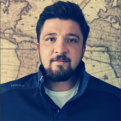
Scientific Researcher III Alin Mihu-Pintilie
Department of Exact Sciences and Natural Sciences, ARHEOINVEST Center
Areas of expertise:
- hydrology & oceanography
- geomorphology assessment of natural hazards
- assessment of natural hazards
- geoarchaeology
Scientific profile:
Contact:
- Email: alin.mihu.pintilie@uaic.ro
Alin Mihu-Pintilie is currently a researcher at ICI. He is a geographer – doctor since 2015 in the field of Earth Sciences, interested in advanced spatial analysis using GIS software, remote sensing and geophysics techniques for bathymetric and terrestrial mapping, geoarchaeology, underwater archaeology and for assessing the natural hazards which threatens the cultural heritage sites. Alin is a specialist in continental and oceanic sea diving since 2008 (NAUI Worldwide Patent). Over the last 10 years he has been member of numerous geographical and archaeological expeditions in different parts of Eurasia (Danube Delta, Volga Delta, Black Sea, Baltic Sea, Southern Siberia) and the North Atlantic (Iceland, Norway).
His primary responsibilities at ICI – Arheoinvest Center include geoarchaeological analysis on a wide range of GIS projects examining topics such as: human-environment relationship during the different prehistoric and early historic cultural phases, natural hazards (e.g., floods, landslides, gully erosion) assessment within the archaeological areas and GIS mapping for various interdisciplinary studies.

